1. Pavers
Introduction
What is Pavers?
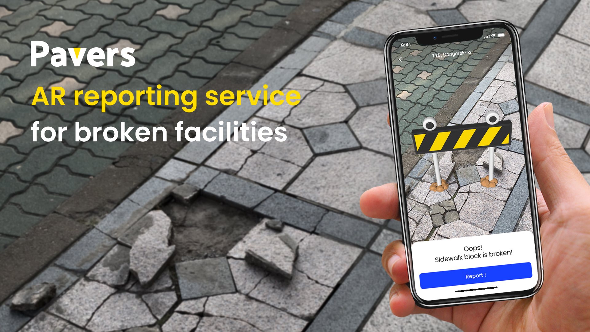
Pavers is an AR app to give complaints on sidewalks and settle them in Seoul city, Korea.
About Service
How to Use
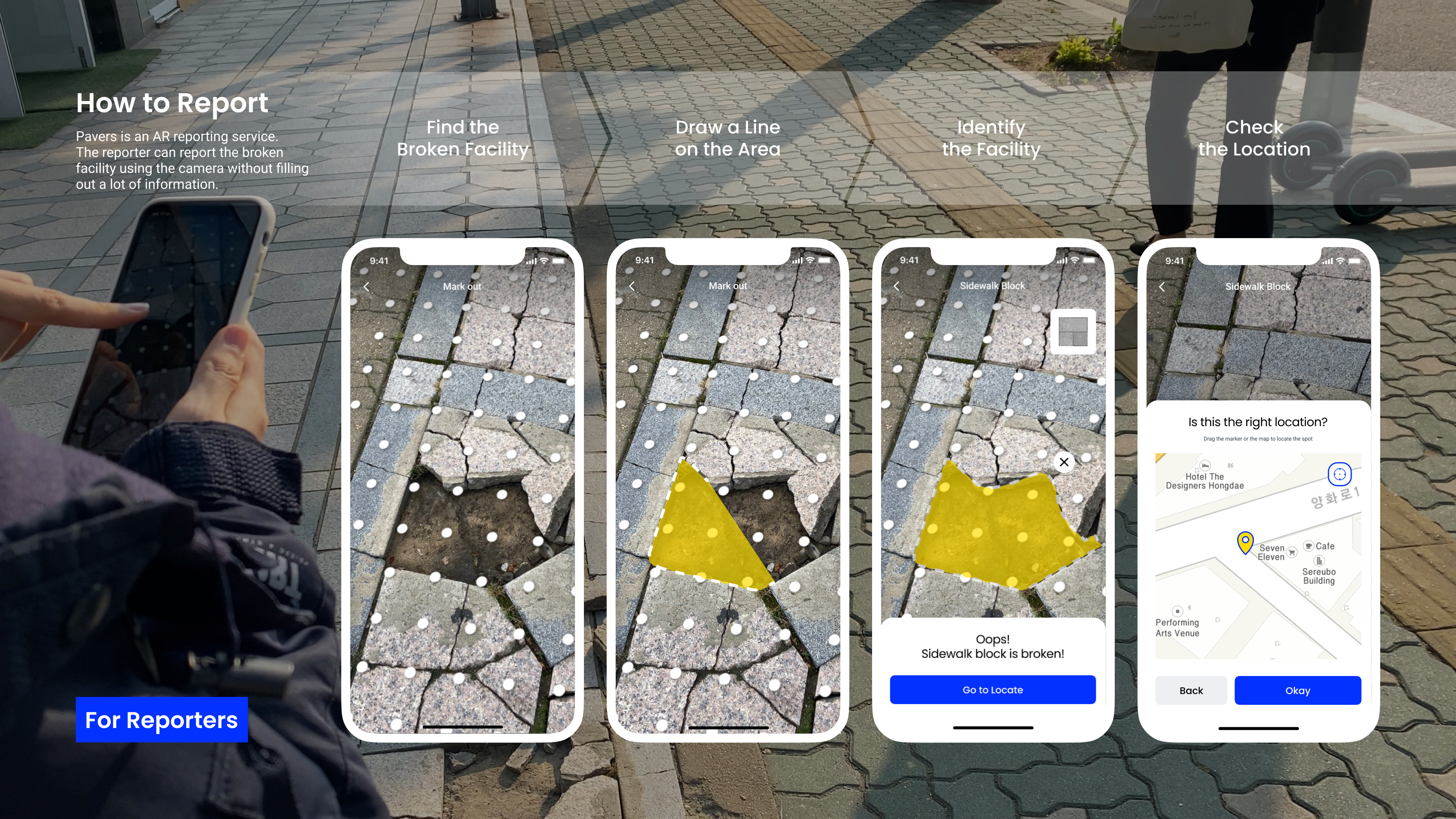
All reporters need to do is scanning the broken area and checking the location on the map. The type of facility is auto-identified by the pavers app. The image and location are recorded at once, and making a description is optional. After that, an AR barricade is put on the broken facility.
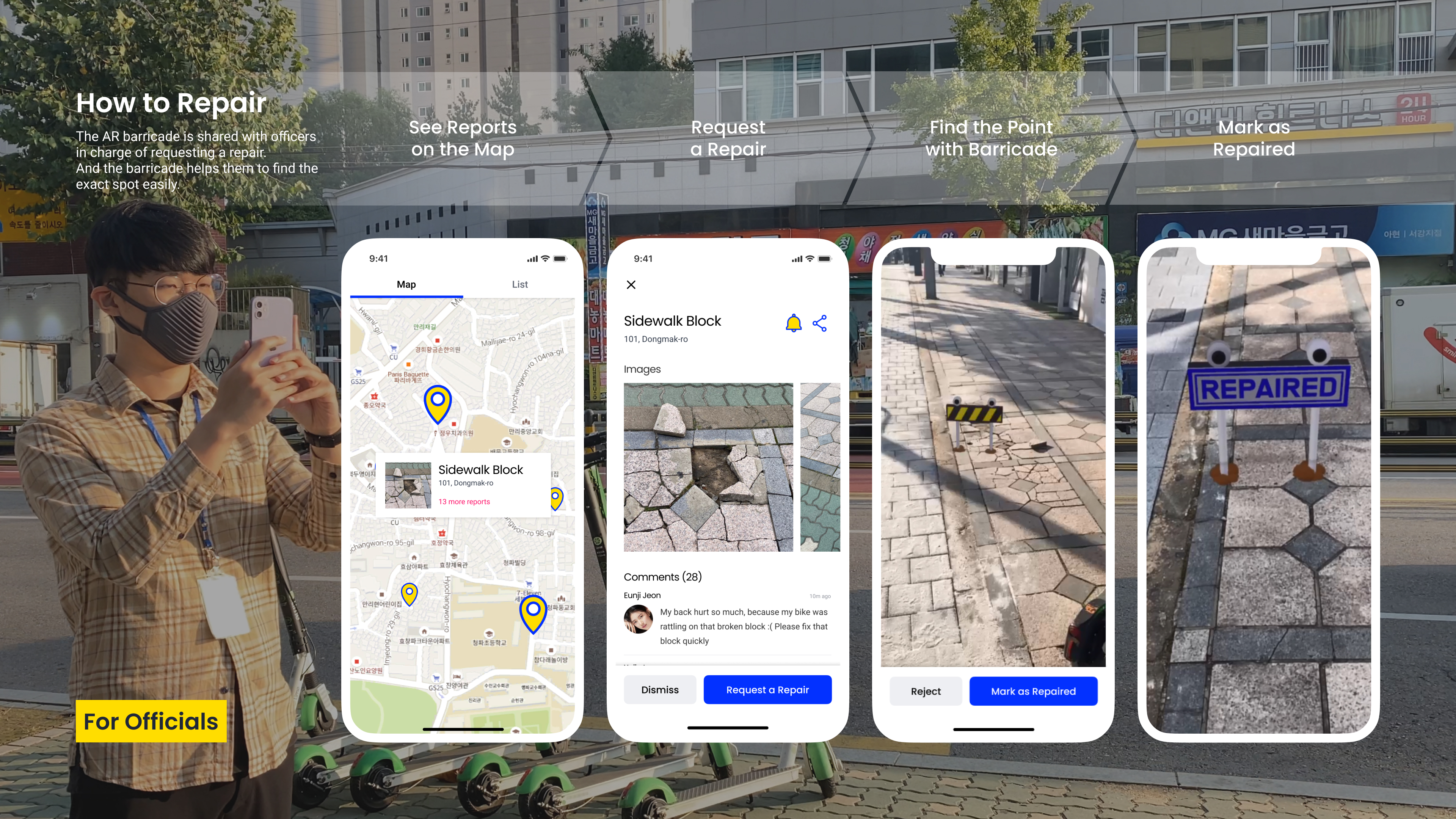
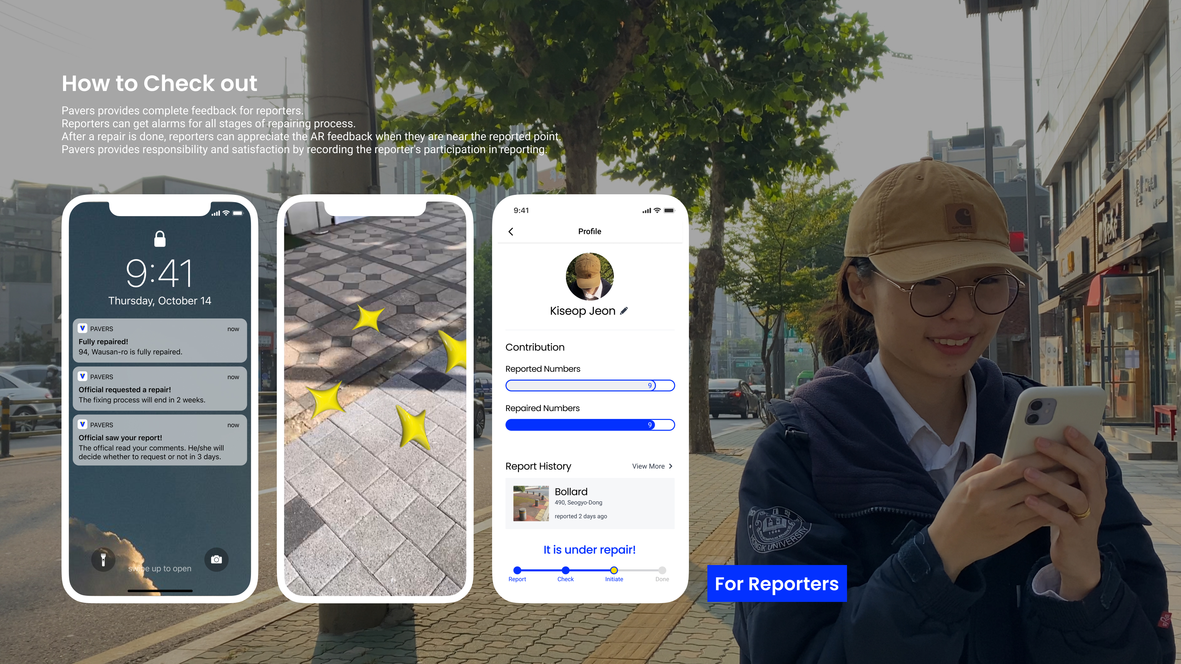
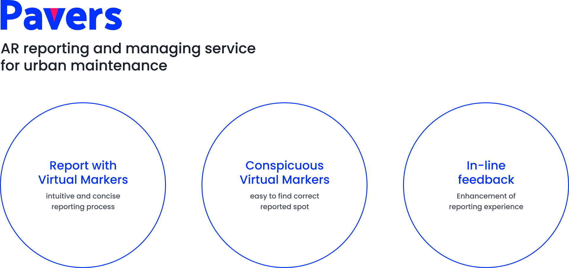
‘Pavers’ also provides in-line feedback. Reporters can receive a notification for all the repairing progress (make a report - be checked by an official - initiate a repair - complete a repair). If the reporter is about to pass by the previously reported spot after repairing, the app notifies them.
Design Process
Prototyping
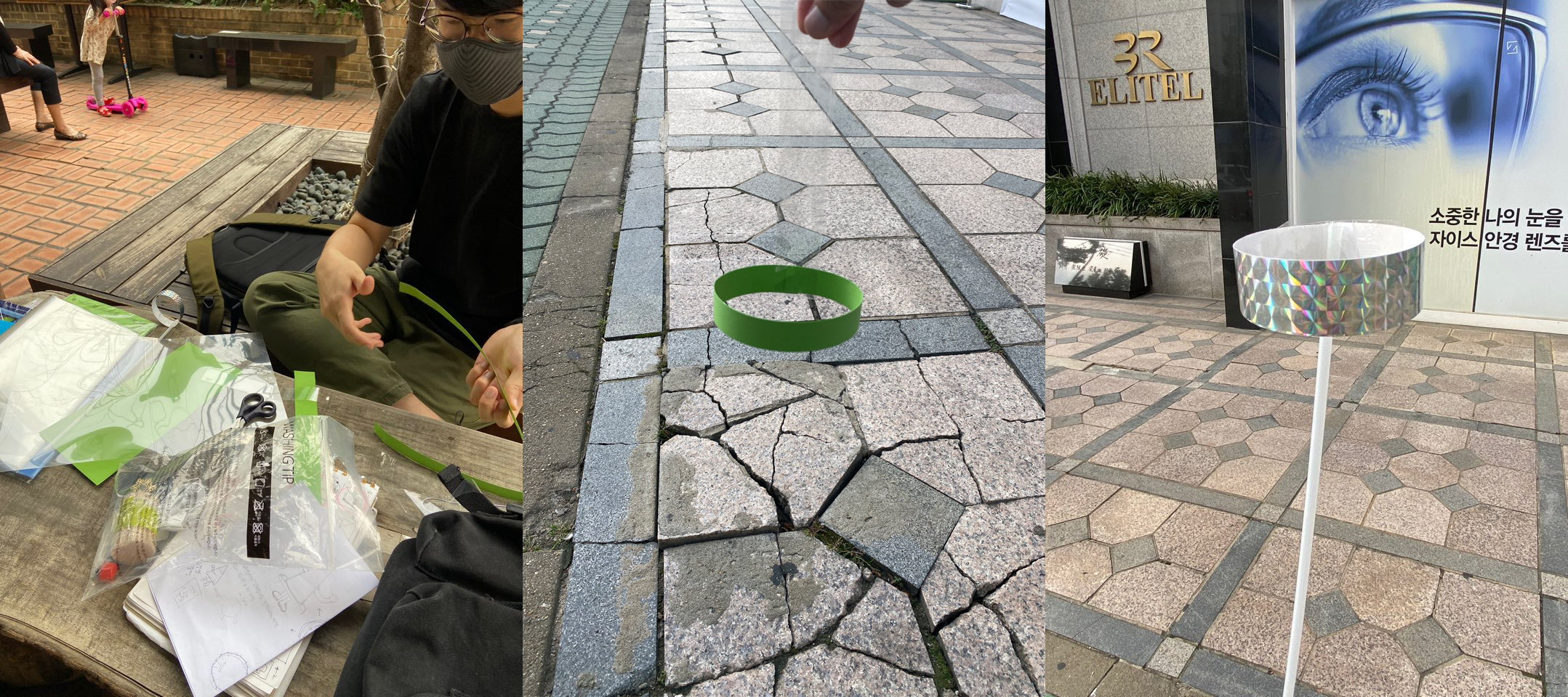


After making paper prototypes, we realized that the marker in the air is difficult to indicate the precise spot. So we proceeded to the ballons. However, it was too low to be seen by passersby and has no link with the repairing process.
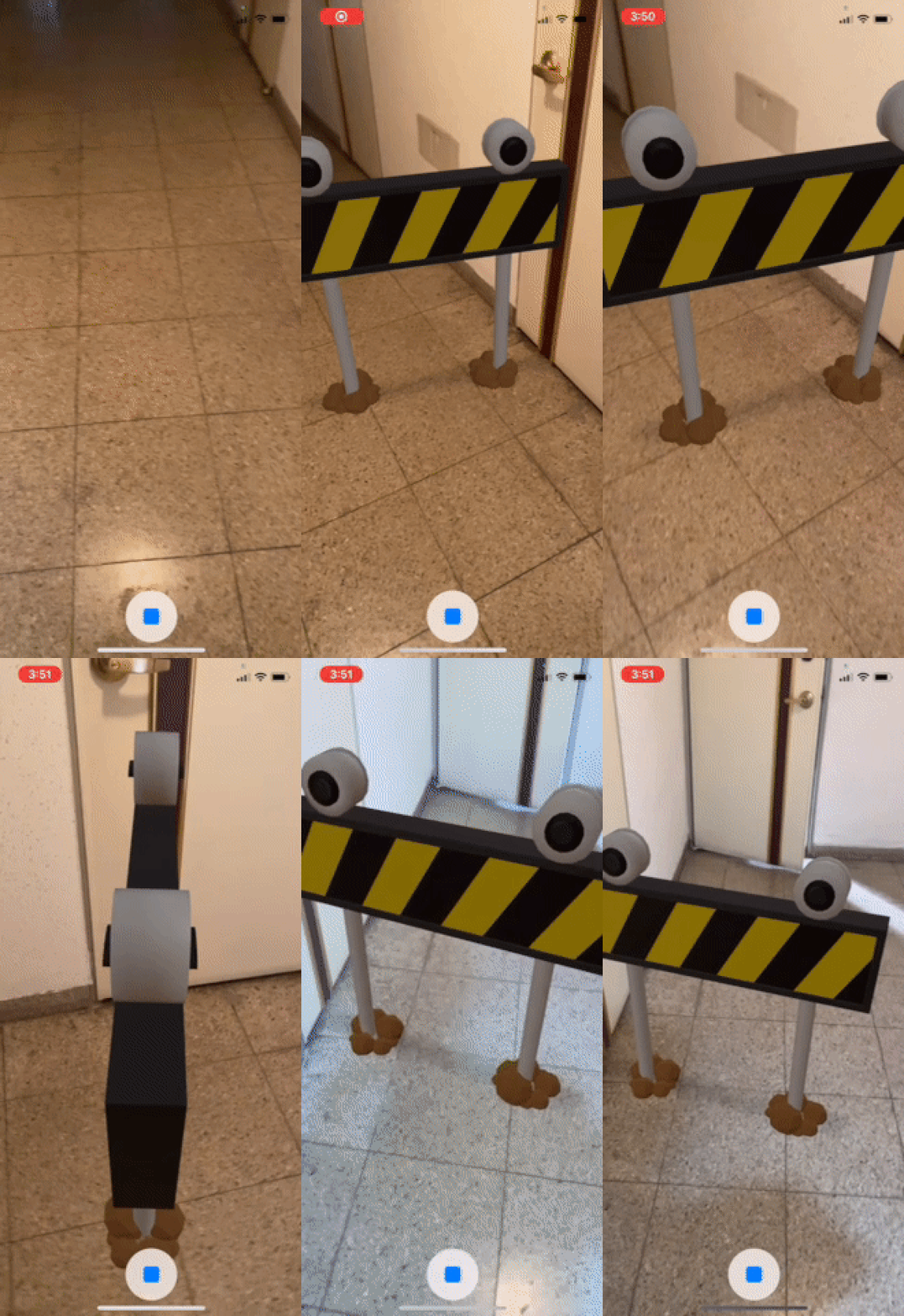
Then we decided to use the barricade with a specific form and height. It allows users to see that it is a reported location at a glance. Through this process, we were able to think about the size, height of the AR marker, and users’ point of view.
Background
The Challenge: Low Reporting Rate
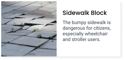
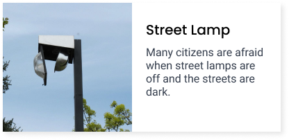
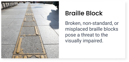
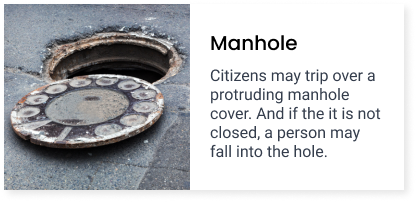
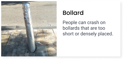
It is important to file a complaint with the district office. However, people just pass by these facilities.
Background
Stakeholders
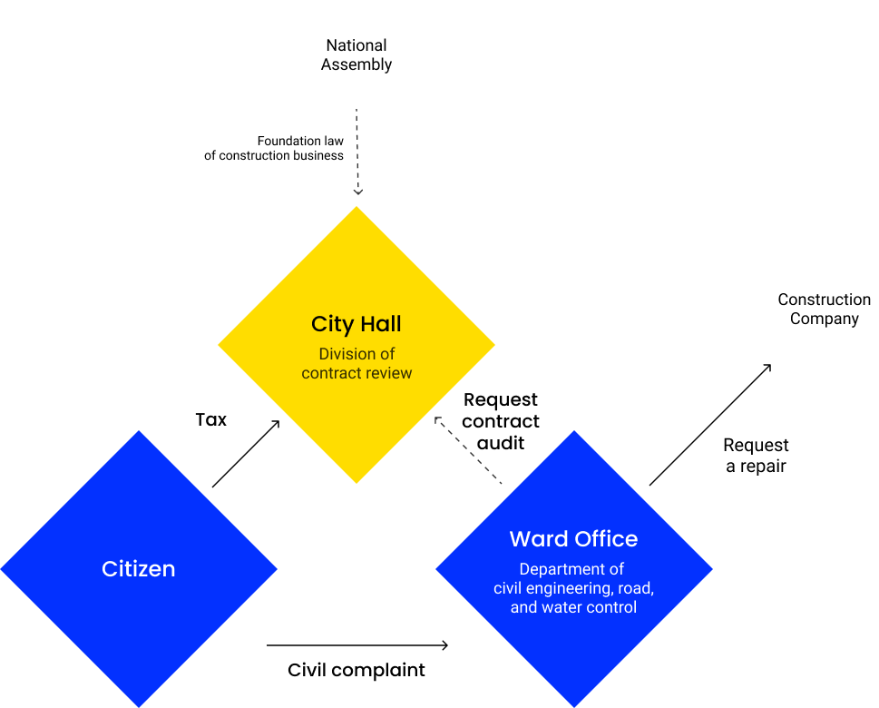
After drawing the stakeholder map, we found that the citizen and district office(especially the civil engineering, road, water control departments) are the central stakeholder.
The national assembly and construction company was one of the stakeholders, too. Because the contract period takes a year, the construction company can be changed every year.
Background
Journey Maps
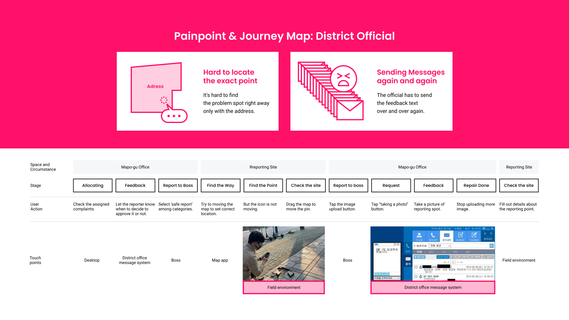
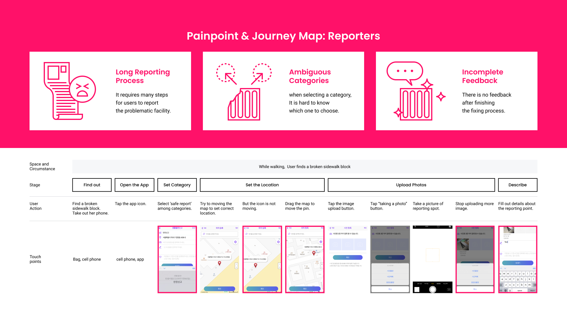
To citizen, due to the complex reporting process, it is hard to give a complaint right away and have to send plenty of information by themselves. Officials are spending time seeking the exact location only with an ambiguous address.
